
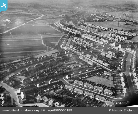
EPW060189 ENGLAND (1938). Rothesay Avenue and environs, Greenford, 1938
© Copyright OpenStreetMap contributors and licensed by the OpenStreetMap Foundation. 2026. Cartography is licensed as CC BY-SA.
Details
| Title | [EPW060189] Rothesay Avenue and environs, Greenford, 1938 |
| Reference | EPW060189 |
| Date | 30-November-1938 |
| Link | |
| Place name | GREENFORD |
| Parish | |
| District | |
| Country | ENGLAND |
| Easting / Northing | 514659, 184741 |
| Longitude / Latitude | -0.34615668049231, 51.549416909502 |
| National Grid Reference | TQ147847 |
Pins

JimmyBrandon |
Sunday 14th of July 2019 08:33:13 PM | |
|
tim |
Tuesday 5th of December 2017 03:42:22 AM | |
|
tim |
Tuesday 5th of December 2017 03:39:13 AM | |

Des Elmes |
Wednesday 6th of April 2016 02:18:09 AM | |
|
Des Elmes |
Wednesday 6th of April 2016 02:17:42 AM | |
|
Des Elmes |
Wednesday 6th of April 2016 02:17:22 AM | |
|
Des Elmes |
Wednesday 6th of April 2016 02:16:55 AM | |
|
Des Elmes |
Wednesday 6th of April 2016 02:16:27 AM | |
|
Des Elmes |
Wednesday 6th of April 2016 02:15:59 AM | |
|
Des Elmes |
Wednesday 6th of April 2016 02:15:38 AM | |
|
Chriss |
Sunday 3rd of January 2016 03:10:11 PM | |
|
Chriss |
Sunday 3rd of January 2016 02:55:32 PM |