
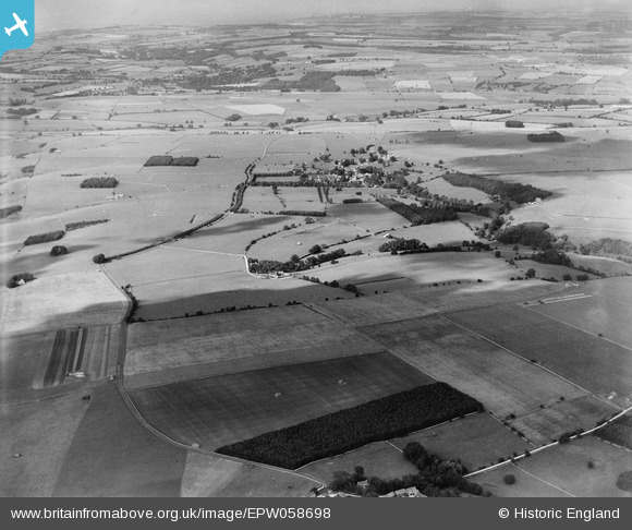
EPW058698 ENGLAND (1938). The village and surrounding countryside, Notgrove, from the south, 1938
© Copyright OpenStreetMap contributors and licensed by the OpenStreetMap Foundation. 2026. Cartography is licensed as CC BY-SA.
Details
| Title | [EPW058698] The village and surrounding countryside, Notgrove, from the south, 1938 |
| Reference | EPW058698 |
| Date | 15-August-1938 |
| Link | |
| Place name | NOTGROVE |
| Parish | NOTGROVE |
| District | |
| Country | ENGLAND |
| Easting / Northing | 410731, 218559 |
| Longitude / Latitude | -1.8441397144545, 51.865066490032 |
| National Grid Reference | SP107186 |
Pins
Be the first to add a comment to this image!