
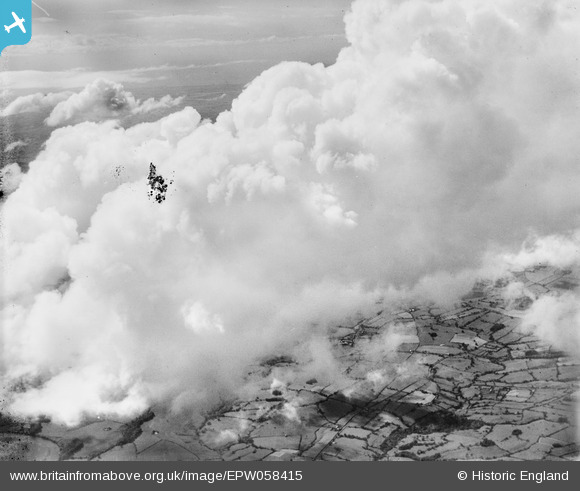
EPW058415 ENGLAND (1938). Clouds over Longridge and Longridge Fell, Ribchester, 1938
© Copyright OpenStreetMap contributors and licensed by the OpenStreetMap Foundation. 2026. Cartography is licensed as CC BY-SA.
Details
| Title | [EPW058415] Clouds over Longridge and Longridge Fell, Ribchester, 1938 |
| Reference | EPW058415 |
| Date | 26-July-1938 |
| Link | |
| Place name | RIBCHESTER |
| Parish | RIBCHESTER |
| District | |
| Country | ENGLAND |
| Easting / Northing | 364033, 436077 |
| Longitude / Latitude | -2.5463941349791, 53.819511837771 |
| National Grid Reference | SD640361 |
Pins

Class31 |
Friday 16th of August 2013 12:28:40 PM | |
|
Class31 |
Friday 16th of August 2013 12:27:26 PM | |
|
Class31 |
Friday 16th of August 2013 12:23:43 PM | |
|
Class31 |
Friday 16th of August 2013 12:22:35 PM | |
|
Class31 |
Friday 16th of August 2013 12:20:24 PM | |
|
Class31 |
Friday 16th of August 2013 12:12:11 PM | |
|
Class31 |
Friday 16th of August 2013 12:07:31 PM | |
|
Class31 |
Friday 16th of August 2013 12:00:30 PM | |
|
Class31 |
Friday 16th of August 2013 11:59:23 AM | |
|
Class31 |
Friday 16th of August 2013 11:57:53 AM | |
|
Class31 |
Friday 16th of August 2013 11:40:13 AM | |
Yes , I would now confirm that it is the Fylde Coast. |
Class31 |
Friday 16th of August 2013 12:03:53 PM |
|
Class31 |
Friday 16th of August 2013 11:38:28 AM | |
I would say yes , it is the River Wyre, based on the further evidence. |
Class31 |
Friday 16th of August 2013 12:03:15 PM |
|
Class31 |
Friday 16th of August 2013 11:28:45 AM | |
River Ribble |
Class31 |
Friday 16th of August 2013 12:01:59 PM |
User Comment Contributions
View looking west. |
Class31 |
Friday 16th of August 2013 12:37:40 PM |
I don't know how to search for a particular date so that I can narrow down my search. Can anyone help? |
Class31 |
Friday 16th of August 2013 12:30:23 PM |
You can date-search by year under the "more search options" button, but unfortuantely not a more specific date. However, I can let you know what else Aerofilms took (claimed to have taken, you know what their recording was like...) on the same date/around the date. Drop me a line (I think you have my e-mail). Katy |
Katy Whitaker |
Friday 16th of August 2013 11:27:08 AM |
Thanks Katy. As you can see I appear to have located this photograph based largely on proximity to the other photos in the series and the date taken. Together with the long view of the River Wyre and the River Ribble in the bottom left. The Roman Road out of Ribchester also helped. |
Class31 |
Friday 16th of August 2013 12:17:47 PM |
Great - stick a pin in the map if you are happy with it! |
Katy Whitaker |
Friday 16th of August 2013 12:30:23 PM |
Eureka We have it! It is in the vicinity of where I had thought it was but now I can add the detail. It is so good to identify a new picture after a very lean period! |
Class31 |
Friday 16th of August 2013 11:56:09 AM |
At the risk of getting it completely wrong I think this is likely to be in the Hurst Green area of Lancashire. I shall try to gather more evidence. |
Class31 |
Friday 16th of August 2013 11:44:05 AM |
The Hurst Green photo was taken on the same day as our mystery picture. The Uttoxeter shot was on a different day. |
Class31 |
Friday 16th of August 2013 11:19:29 AM |
EPW058418 is Hurst Green in Lancashire. |
Class31 |
Friday 16th of August 2013 11:16:54 AM |
EPW058413 is located in Uttoxeter. |
Class31 |
Friday 16th of August 2013 11:15:04 AM |