
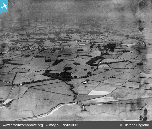
EPW053609 ENGLAND (1937). Myerscough House, Farther Light Ash and surrounding countryside, Myerscough, from the west, 1937. This image has been produced from a damaged negative.
© Copyright OpenStreetMap contributors and licensed by the OpenStreetMap Foundation. 2026. Cartography is licensed as CC BY-SA.
Details
| Title | [EPW053609] Myerscough House, Farther Light Ash and surrounding countryside, Myerscough, from the west, 1937. This image has been produced from a damaged negative. |
| Reference | EPW053609 |
| Date | 11-June-1937 |
| Link | |
| Place name | MYERSCOUGH |
| Parish | MYERSCOUGH AND BILSBORROW |
| District | |
| Country | ENGLAND |
| Easting / Northing | 348373, 440938 |
| Longitude / Latitude | -2.7850897317021, 53.861883651779 |
| National Grid Reference | SD484409 |
Pins
Be the first to add a comment to this image!