
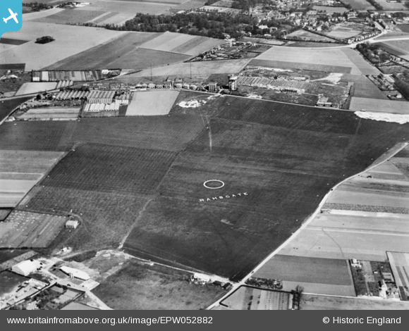
EPW052882 ENGLAND (1937). Ramsgate Aerodrome, Broadstairs, 1937. This image has been produced from a copy-negative.
© Copyright OpenStreetMap contributors and licensed by the OpenStreetMap Foundation. 2026. Cartography is licensed as CC BY-SA.
Details
| Title | [EPW052882] Ramsgate Aerodrome, Broadstairs, 1937. This image has been produced from a copy-negative. |
| Reference | EPW052882 |
| Date | 24-April-1937 |
| Link | |
| Place name | BROADSTAIRS |
| Parish | BROADSTAIRS AND ST. PETERS |
| District | |
| Country | ENGLAND |
| Easting / Northing | 637526, 167437 |
| Longitude / Latitude | 1.4119503098997, 51.355765805048 |
| National Grid Reference | TR375674 |
Pins

Paul1867 |
Tuesday 11th of March 2025 02:40:19 AM | |
|
Paul1867 |
Tuesday 11th of March 2025 02:34:38 AM | |
|
Paul1867 |
Tuesday 11th of March 2025 02:33:36 AM | |
|
Paul1867 |
Tuesday 11th of March 2025 02:32:15 AM | |
|
Paul1867 |
Tuesday 11th of March 2025 02:30:20 AM | |
|
Paul1867 |
Tuesday 11th of March 2025 02:29:17 AM |