
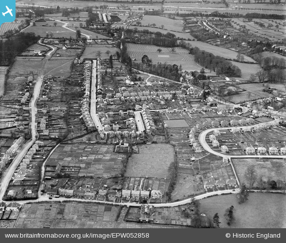
EPW052858 ENGLAND (1937). The Crescent, Breakspeare Road and environs, Abbots Langley, from the north-east, 1937
© Copyright OpenStreetMap contributors and licensed by the OpenStreetMap Foundation. 2026. Cartography is licensed as CC BY-SA.
Details
| Title | [EPW052858] The Crescent, Breakspeare Road and environs, Abbots Langley, from the north-east, 1937 |
| Reference | EPW052858 |
| Date | 16-April-1937 |
| Link | |
| Place name | ABBOTS LANGLEY |
| Parish | ABBOTS LANGLEY |
| District | |
| Country | ENGLAND |
| Easting / Northing | 509698, 201865 |
| Longitude / Latitude | -0.41231903530624, 51.704328808994 |
| National Grid Reference | TL097019 |
Pins

Bratty |
Tuesday 18th of February 2025 12:22:46 PM | |
|
Bratty |
Tuesday 18th of February 2025 12:03:53 PM | |
|
Bratty |
Tuesday 18th of February 2025 12:03:03 PM | |
|
David Powell |
Tuesday 11th of February 2014 01:25:41 PM | |
|
David Powell |
Tuesday 11th of February 2014 01:25:24 PM | |
|
David Powell |
Tuesday 11th of February 2014 01:24:19 PM | |
|
David Powell |
Tuesday 11th of February 2014 01:23:54 PM | |
|
David Powell |
Tuesday 11th of February 2014 01:23:19 PM | |
|
David Powell |
Tuesday 11th of February 2014 01:22:56 PM | |
|
David Powell |
Tuesday 11th of February 2014 01:22:26 PM | |
|
David Powell |
Tuesday 11th of February 2014 01:22:04 PM | |
|
David Powell |
Tuesday 11th of February 2014 01:21:31 PM | |
|
David Powell |
Tuesday 11th of February 2014 01:20:45 PM | |
|
David Powell |
Tuesday 11th of February 2014 01:20:30 PM | |
|
David Powell |
Tuesday 11th of February 2014 01:20:04 PM | |
|
David Powell |
Tuesday 11th of February 2014 01:19:45 PM |