
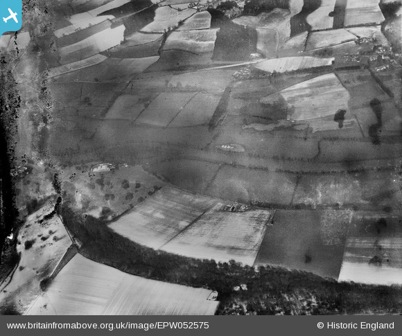
EPW052575 ENGLAND (1937). The River Thames at Lower Culham Farm and surrounding countryside, Remenham, 1937. This image has been produced from a damaged negative.
© Copyright OpenStreetMap contributors and licensed by the OpenStreetMap Foundation. 2026. Cartography is licensed as CC BY-SA.
Details
| Title | [EPW052575] The River Thames at Lower Culham Farm and surrounding countryside, Remenham, 1937. This image has been produced from a damaged negative. |
| Reference | EPW052575 |
| Date | 1-March-1937 |
| Link | |
| Place name | REMENHAM |
| Parish | REMENHAM |
| District | |
| Country | ENGLAND |
| Easting / Northing | 479633, 183760 |
| Longitude / Latitude | -0.85146112530476, 51.546629603854 |
| National Grid Reference | SU796838 |
Pins
Be the first to add a comment to this image!