
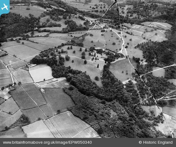
EPW050340 ENGLAND (1936). Ely Wood, Ely Grange and environs, Frant, from the north-east, 1936. This image has been produced from a damaged negative.
© Copyright OpenStreetMap contributors and licensed by the OpenStreetMap Foundation. 2026. Cartography is licensed as CC BY-SA.
Details
| Title | [EPW050340] Ely Wood, Ely Grange and environs, Frant, from the north-east, 1936. This image has been produced from a damaged negative. |
| Reference | EPW050340 |
| Date | June-1936 |
| Link | |
| Place name | FRANT |
| Parish | FRANT |
| District | |
| Country | ENGLAND |
| Easting / Northing | 560090, 136293 |
| Longitude / Latitude | 0.28688704928224, 51.103024754011 |
| National Grid Reference | TQ601363 |
Pins
Be the first to add a comment to this image!