
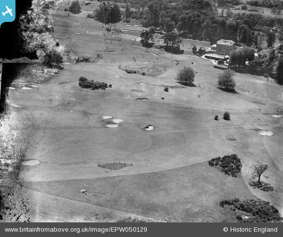
EPW050129 ENGLAND (1936). Woodcote Park Golf Course (Royal Automobile Club), Woodcote Park, 1936. This image has been produced from a damaged negative.
© Copyright OpenStreetMap contributors and licensed by the OpenStreetMap Foundation. 2026. Cartography is licensed as CC BY-SA.
Details
| Title | [EPW050129] Woodcote Park Golf Course (Royal Automobile Club), Woodcote Park, 1936. This image has been produced from a damaged negative. |
| Reference | EPW050129 |
| Date | May-1936 |
| Link | |
| Place name | WOODCOTE PARK |
| Parish | |
| District | |
| Country | ENGLAND |
| Easting / Northing | 520675, 158764 |
| Longitude / Latitude | -0.26827639018972, 51.314668363091 |
| National Grid Reference | TQ207588 |
Pins
Be the first to add a comment to this image!