
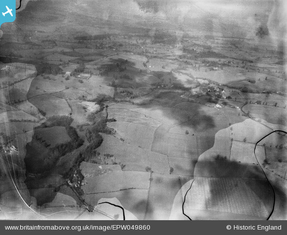
EPW049860 ENGLAND (1936). Countryside east of Bridgnorth, Hopstone, 1936. This image has been produced from a damaged negative.
© Copyright OpenStreetMap contributors and licensed by the OpenStreetMap Foundation. 2026. Cartography is licensed as CC BY-SA.
Details
| Title | [EPW049860] Countryside east of Bridgnorth, Hopstone, 1936. This image has been produced from a damaged negative. |
| Reference | EPW049860 |
| Date | April-1936 |
| Link | |
| Place name | HOPSTONE |
| Parish | CLAVERLEY |
| District | |
| Country | ENGLAND |
| Easting / Northing | 378696, 294936 |
| Longitude / Latitude | -2.314231613873, 52.551490561127 |
| National Grid Reference | SO787949 |
Pins
User Comment Contributions
Similar view to EPW049848 - northwest towards Worfield |

Tony D |
Tuesday 2nd of July 2013 04:29:35 PM |
Hi Tony D, thanks for casting your eye over this image. Like EPW049848 it is labelled "Four sites in Salop for Hall, Steavenson & Thole [sic]" in the Aerofilms Ltd Register. We'll update the catalogue and post the new record here in due course. Yours, Katy Britain from Above Cataloguing Team Leader |
Katy Whitaker |
Tuesday 2nd of July 2013 04:29:35 PM |