
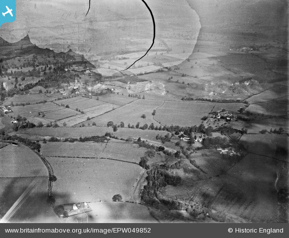
EPW049852 ENGLAND (1936). Countryside between Bradney and Worfield, Worfield, from the east, 1936. This image has been produced from a damaged negative.
© Copyright OpenStreetMap contributors and licensed by the OpenStreetMap Foundation. 2026. Cartography is licensed as CC BY-SA.
Details
| Title | [EPW049852] Countryside between Bradney and Worfield, Worfield, from the east, 1936. This image has been produced from a damaged negative. |
| Reference | EPW049852 |
| Date | April-1936 |
| Link | |
| Place name | WORFIELD |
| Parish | WORFIELD |
| District | |
| Country | ENGLAND |
| Easting / Northing | 376737, 295658 |
| Longitude / Latitude | -2.3431767456159, 52.557901656079 |
| National Grid Reference | SO767957 |
Pins
Be the first to add a comment to this image!