
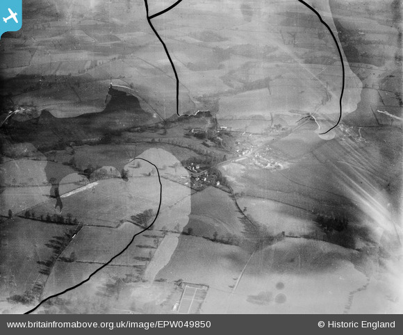
EPW049850 ENGLAND (1936). The village and surrounding countryside, Hilton, 1936. This image has been produced from a damaged negative.
© Copyright OpenStreetMap contributors and licensed by the OpenStreetMap Foundation. 2026. Cartography is licensed as CC BY-SA.
Details
| Title | [EPW049850] The village and surrounding countryside, Hilton, 1936. This image has been produced from a damaged negative. |
| Reference | EPW049850 |
| Date | April-1936 |
| Link | |
| Place name | HILTON |
| Parish | WORFIELD |
| District | |
| Country | ENGLAND |
| Easting / Northing | 377542, 295397 |
| Longitude / Latitude | -2.3312838966494, 52.555588896045 |
| National Grid Reference | SO775954 |
Pins
Be the first to add a comment to this image!