
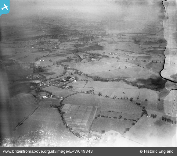
EPW049848 ENGLAND (1936). Countryside east of Bridgnorth, Hilton, from the east, 1936. This image has been produced from a damaged negative.
© Copyright OpenStreetMap contributors and licensed by the OpenStreetMap Foundation. 2026. Cartography is licensed as CC BY-SA.
Details
| Title | [EPW049848] Countryside east of Bridgnorth, Hilton, from the east, 1936. This image has been produced from a damaged negative. |
| Reference | EPW049848 |
| Date | April-1936 |
| Link | |
| Place name | HILTON |
| Parish | WORFIELD |
| District | |
| Country | ENGLAND |
| Easting / Northing | 378215, 295704 |
| Longitude / Latitude | -2.3213766357354, 52.558376416599 |
| National Grid Reference | SO782957 |
Pins

Dylan Moore |
Saturday 4th of May 2013 08:45:00 PM | |
|
Dylan Moore |
Saturday 4th of May 2013 08:44:25 PM | |
|
Dylan Moore |
Saturday 4th of May 2013 08:43:59 PM | |
|
Dylan Moore |
Saturday 4th of May 2013 08:41:44 PM | |
|
Dylan Moore |
Saturday 4th of May 2013 08:40:23 PM | |
|
Dylan Moore |
Saturday 4th of May 2013 08:39:54 PM |
User Comment Contributions
Hi Dylan, Thanks for resolving this one. You may be interested to know that the original Aerofilms Ltd Register entry says "Four sites in Salop for Hall, Steavenson & Thole [sic]". We'll update the catalogue and post the new record here in due course. Yours, Katy Britain from Above Cataloguing Team Leader |
Katy Whitaker |
Tuesday 2nd of July 2013 04:26:48 PM |