
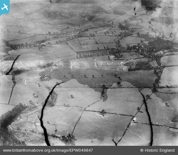
EPW049847 ENGLAND (1936). The River Worle, Minnie Coppice and surrounding countryside, Worfield, from the north, 1936. This image has been produced from a damaged negative.
© Copyright OpenStreetMap contributors and licensed by the OpenStreetMap Foundation. 2026. Cartography is licensed as CC BY-SA.
Details
| Title | [EPW049847] The River Worle, Minnie Coppice and surrounding countryside, Worfield, from the north, 1936. This image has been produced from a damaged negative. |
| Reference | EPW049847 |
| Date | April-1936 |
| Link | |
| Place name | WORFIELD |
| Parish | WORFIELD |
| District | |
| Country | ENGLAND |
| Easting / Northing | 376112, 296510 |
| Longitude / Latitude | -2.3524579745313, 52.565534662011 |
| National Grid Reference | SO761965 |
Pins
Be the first to add a comment to this image!