
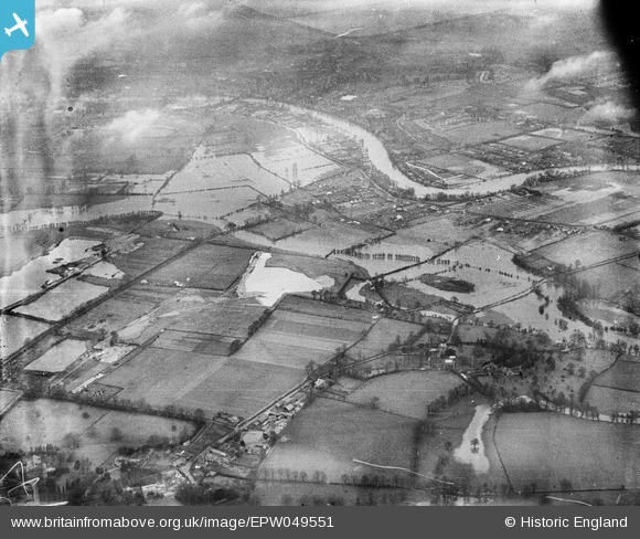
EPW049551 ENGLAND (1936). River Thames in flood around Eastly End, Thorpe, from the south-west, 1936
© Copyright OpenStreetMap contributors and licensed by the OpenStreetMap Foundation. 2026. Cartography is licensed as CC BY-SA.
Details
| Title | [EPW049551] River Thames in flood around Eastly End, Thorpe, from the south-west, 1936 |
| Reference | EPW049551 |
| Date | January-1936 |
| Link | |
| Place name | THORPE |
| Parish | |
| District | |
| Country | ENGLAND |
| Easting / Northing | 502827, 168973 |
| Longitude / Latitude | -0.52134848662457, 51.409950893728 |
| National Grid Reference | TQ028690 |
Pins
 Ten Acre Lane, Thorpe Ten Acre Lane, Thorpe |

MK |
Monday 14th of September 2026 08:40:44 PM |