
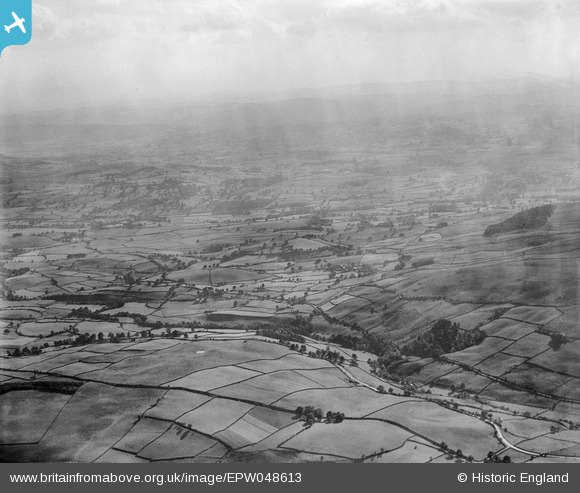
EPW048613 ENGLAND (1935). The valley of the River Sprint, Watchgate, from the north-east, 1935
© Copyright OpenStreetMap contributors and licensed by the OpenStreetMap Foundation. 2026. Cartography is licensed as CC BY-SA.
Details
| Title | [EPW048613] The valley of the River Sprint, Watchgate, from the north-east, 1935 |
| Reference | EPW048613 |
| Date | July-1935 |
| Link | |
| Place name | WATCHGATE |
| Parish | SKELSMERGH |
| District | |
| Country | ENGLAND |
| Easting / Northing | 352771, 498527 |
| Longitude / Latitude | -2.7272216720938, 54.379901643933 |
| National Grid Reference | SD528985 |
Pins
User Comment Contributions
Thank you... The original Aerofilms Ltd Register entry for the image says "Areas in the Lake District for Manchester Corporation Waterworks"; as you know we simply don't have enough leeway with our time to be able to hunt images like this out. It makes such a difference that website members can help with these. We'll update the catalogue and post the new record here in due course. Yours, Katy Britain from Above Cataloguing Team Leader |
Katy Whitaker |
Tuesday 2nd of July 2013 01:18:03 PM |
Eureka These are coming in fast and furiously. |

Class31 |
Saturday 4th of May 2013 04:56:33 PM |
View looking south west from above High Thorn near Garnett Bridge |
Class31 |
Saturday 4th of May 2013 04:54:37 PM |