
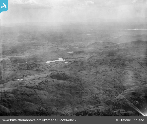
EPW048612 ENGLAND (1935). Gurnal Dubs, Potter Fell, from the north-east, 1935
© Copyright OpenStreetMap contributors and licensed by the OpenStreetMap Foundation. 2026. Cartography is licensed as CC BY-SA.
Details
| Title | [EPW048612] Gurnal Dubs, Potter Fell, from the north-east, 1935 |
| Reference | EPW048612 |
| Date | July-1935 |
| Link | |
| Place name | POTTER FELL |
| Parish | STRICKLAND ROGER |
| District | |
| Country | ENGLAND |
| Easting / Northing | 350942, 499731 |
| Longitude / Latitude | -2.7555802893246, 54.390549521837 |
| National Grid Reference | SD509997 |
Pins

Class31 |
Saturday 4th of May 2013 05:25:49 PM | |
|
Class31 |
Saturday 4th of May 2013 05:25:02 PM | |
|
Class31 |
Saturday 4th of May 2013 05:24:42 PM | |
|
Class31 |
Saturday 4th of May 2013 05:23:53 PM | |
|
Class31 |
Saturday 4th of May 2013 05:23:35 PM | |
|
Class31 |
Saturday 4th of May 2013 05:23:16 PM | |
|
Class31 |
Saturday 4th of May 2013 04:35:44 PM |
User Comment Contributions
Thank you... The original Aerofilms Ltd Register entry for the image says "Areas in the Lake District for Manchester Corporation Waterworks"; as you know we simply don't have enough leeway with our time to be able to hunt images like this out. It makes such a difference that website members can help with these. We'll update the catalogue and post the new record here in due course. Yours, Katy Britain from Above Cataloguing Team Leader |
Katy Whitaker |
Tuesday 2nd of July 2013 01:15:48 PM |
See also EPW048578. |

BigglesH |
Friday 17th of May 2013 11:25:22 AM |