
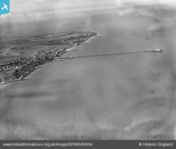
EPW046904 ENGLAND (1935). New Walton Pier, the seafront and the town, Walton-on-the-Naze, from the south, 1935
© Copyright OpenStreetMap contributors and licensed by the OpenStreetMap Foundation. 2026. Cartography is licensed as CC BY-SA.
Details
| Title | [EPW046904] New Walton Pier, the seafront and the town, Walton-on-the-Naze, from the south, 1935 |
| Reference | EPW046904 |
| Date | April-1935 |
| Link | |
| Place name | WALTON-ON-THE-NAZE |
| Parish | FRINTON AND WALTON |
| District | |
| Country | ENGLAND |
| Easting / Northing | 625329, 220652 |
| Longitude / Latitude | 1.2712376959102, 51.838489732152 |
| National Grid Reference | TM253207 |
