
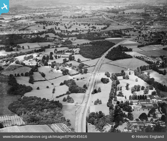
EPW045616 ENGLAND (1934). The A20 and part of the Scadbury Park Estate, Chislehurst, from the east, 1934. This image has been produced from a copy-negative.
© Copyright OpenStreetMap contributors and licensed by the OpenStreetMap Foundation. 2026. Cartography is licensed as CC BY-SA.
Details
| Title | [EPW045616] The A20 and part of the Scadbury Park Estate, Chislehurst, from the east, 1934. This image has been produced from a copy-negative. |
| Reference | EPW045616 |
| Date | July-1934 |
| Link | |
| Place name | CHISLEHURST |
| Parish | |
| District | |
| Country | ENGLAND |
| Easting / Northing | 546251, 170697 |
| Longitude / Latitude | 0.10341455579858, 51.41590662068 |
| National Grid Reference | TQ463707 |
Pins

Barney |
Tuesday 18th of November 2014 06:52:34 AM | |
|
Barney |
Tuesday 18th of November 2014 06:41:21 AM | |
|
Barney |
Tuesday 18th of November 2014 06:38:50 AM | |
|
Barney |
Tuesday 18th of November 2014 06:35:53 AM | |
|
Barney |
Tuesday 18th of November 2014 06:34:35 AM | |
|
Barney |
Tuesday 18th of November 2014 06:33:40 AM | |
|
Barney |
Tuesday 18th of November 2014 06:33:06 AM | |
|
Barney |
Tuesday 18th of November 2014 06:32:24 AM |