
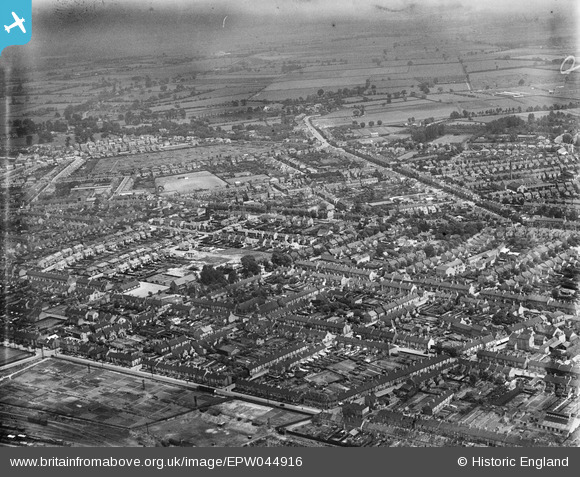
EPW044916 ENGLAND (1934). Millfield and environs, Peterborough, 1934
© Copyright OpenStreetMap contributors and licensed by the OpenStreetMap Foundation. 2026. Cartography is licensed as CC BY-SA.
Details
| Title | [EPW044916] Millfield and environs, Peterborough, 1934 |
| Reference | EPW044916 |
| Date | June-1934 |
| Link | |
| Place name | PETERBOROUGH |
| Parish | |
| District | |
| Country | ENGLAND |
| Easting / Northing | 518906, 300016 |
| Longitude / Latitude | -0.24476025319726, 52.584573310673 |
| National Grid Reference | TF189000 |
Pins
Be the first to add a comment to this image!