
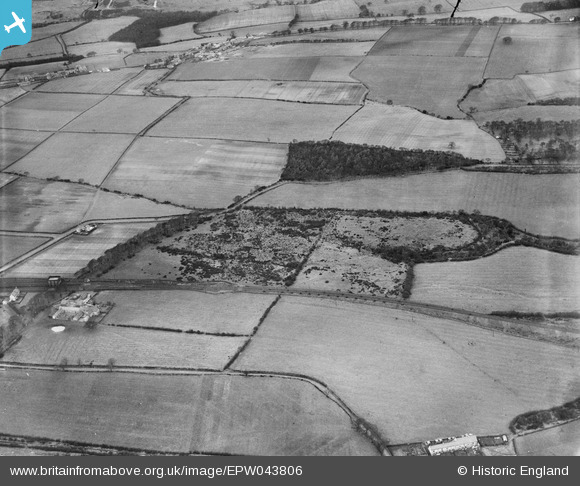
EPW043806 ENGLAND (1934). Garesfield Lane and the Garesfield and Chopwell Railway, Thornley Bank, 1934
© Copyright OpenStreetMap contributors and licensed by the OpenStreetMap Foundation. 2026. Cartography is licensed as CC BY-SA.
Details
| Title | [EPW043806] Garesfield Lane and the Garesfield and Chopwell Railway, Thornley Bank, 1934 |
| Reference | EPW043806 |
| Date | February-1934 |
| Link | |
| Place name | THORNLEY BANK |
| Parish | |
| District | |
| Country | ENGLAND |
| Easting / Northing | 416262, 560503 |
| Longitude / Latitude | -1.7461423231396, 54.938849729577 |
| National Grid Reference | NZ163605 |
Pins

J May |
Thursday 4th of March 2021 02:21:03 PM | |
|
J May |
Thursday 4th of March 2021 02:19:56 PM | |
|
J May |
Thursday 4th of March 2021 02:19:24 PM | |
|
totoro |
Tuesday 8th of March 2016 10:21:55 PM |