
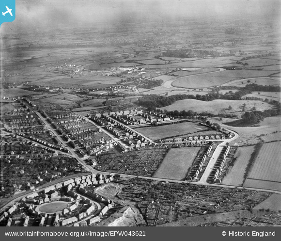
EPW043621 ENGLAND (1933). Housing at Greenwood Road, Ashworth Close and Oakdale Road, Nottingham, from the north-west, 1933
© Copyright OpenStreetMap contributors and licensed by the OpenStreetMap Foundation. 2024. Cartography is licensed as CC BY-SA.
Nearby Images (9)
EPW043621

EPW043933

EPW043622

EPW043935

EPW043623

EPW043618

EPW021817

EPW021816

EPW021818

Details
| Title | [EPW043621] Housing at Greenwood Road, Ashworth Close and Oakdale Road, Nottingham, from the north-west, 1933 |
| Reference | EPW043621 |
| Date | October-1933 |
| Link | |
| Place name | NOTTINGHAM |
| Parish | |
| District | |
| Country | ENGLAND |
| Easting / Northing | 459571, 340451 |
| Longitude / Latitude | -1.1131120826576, 52.957805507875 |
| National Grid Reference | SK596405 |
Pins
Be the first to add a comment to this image!


