
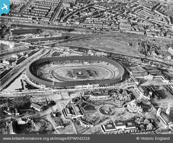
EPW042218 ENGLAND (1933). Shepherd's Bush, Boxing Match at White City Stadium (possibly Jack Petersen/Jack Doyle fight), 1933
© Copyright OpenStreetMap contributors and licensed by the OpenStreetMap Foundation. 2026. Cartography is licensed as CC BY-SA.
Nearby Images (48)
EPW036469

EPW054551

EPW053787

EPW036473

EPW036468

EPW054547

EPW036470

EPW046819

EPW036465

EPW054545

EPW031082

EPW031077

EPW031078

EPW031086

EPW053782

EPW031079

EPW042217
, 1933")
EPW054550

EPW022638

EPW054548

EPW031083

EPW022643

EPW036464

EPW031087

EPW022644

EPW022641

EPW054546

EPW053795

EPW056836

EPW042221
, 1933")
EPW031085

EPW022642

EPW031084

EPW054549

EPW036466

EPW022639

EPW042220
, 1933")
EPW053792

EPW031081

EPW042222
, 1933")
EPW042223
, 1933")
EPW021262

EPW062153

EPW021263

EPW019018

EPW042219
, 1933")
EAW005414

EAW005407

Details
| Title | [EPW042218] Shepherd's Bush, Boxing Match at White City Stadium (possibly Jack Petersen/Jack Doyle fight), 1933 |
| Reference | EPW042218 |
| Date | July-1933 |
| Link | |
| Place name | SHEPHERD'S BUSH |
| Parish | |
| District | |
| Country | ENGLAND |
| Easting / Northing | 523129, 180903 |
| Longitude / Latitude | -0.22538839161589, 51.51313538612 |
| National Grid Reference | TQ231809 |
Pins

Class31 |
Tuesday 18th of March 2014 09:09:41 AM |