
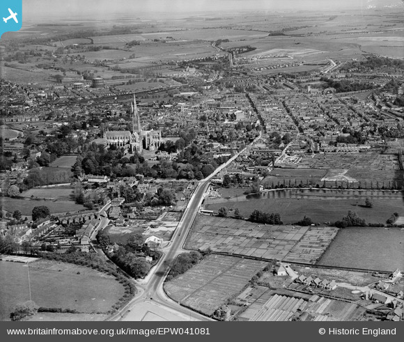
EPW041081 ENGLAND (1933). New Bridge Road, Salisbury Cathedral and the city, Salisbury, from the south, 1933
© Copyright OpenStreetMap contributors and licensed by the OpenStreetMap Foundation. 2026. Cartography is licensed as CC BY-SA.
Details
| Title | [EPW041081] New Bridge Road, Salisbury Cathedral and the city, Salisbury, from the south, 1933 |
| Reference | EPW041081 |
| Date | May-1933 |
| Link | |
| Place name | SALISBURY |
| Parish | SALISBURY |
| District | |
| Country | ENGLAND |
| Easting / Northing | 414530, 128860 |
| Longitude / Latitude | -1.7926500798823, 51.058361638946 |
| National Grid Reference | SU145289 |
Pins

Cyberbia |
Sunday 22nd of March 2026 11:24:21 AM | |
|
Cyberbia |
Sunday 22nd of March 2026 11:23:50 AM | |
|
Cyberbia |
Sunday 22nd of March 2026 11:23:08 AM | |
|
Cyberbia |
Sunday 22nd of March 2026 11:21:02 AM | |
|
Cyberbia |
Sunday 22nd of March 2026 11:19:44 AM | |
|
Cyberbia |
Sunday 22nd of March 2026 11:19:25 AM | |
|
Cyberbia |
Sunday 22nd of March 2026 11:18:23 AM | |
|
Cyberbia |
Sunday 22nd of March 2026 11:17:48 AM | |
|
Cyberbia |
Sunday 22nd of March 2026 11:16:48 AM | |
|
Maggie |
Tuesday 4th of May 2021 09:48:48 PM | |
|
Maggie |
Thursday 29th of October 2020 08:34:23 PM | |
|
Maggie |
Thursday 29th of October 2020 08:31:35 PM | |
|
Maggie |
Thursday 29th of October 2020 08:13:44 PM | |
|
gBr |
Tuesday 14th of March 2017 11:14:42 AM | |
|
John |
Sunday 14th of February 2016 06:12:52 PM | |
|
Graham Yaxley |
Tuesday 24th of February 2015 01:10:57 AM | |

Class31 |
Wednesday 15th of January 2014 05:14:41 PM | |
|
Class31 |
Wednesday 15th of January 2014 05:04:10 PM | |
|
Class31 |
Saturday 22nd of June 2013 08:50:00 PM | |
|
Class31 |
Saturday 22nd of June 2013 08:48:25 PM |


User Comment Contributions
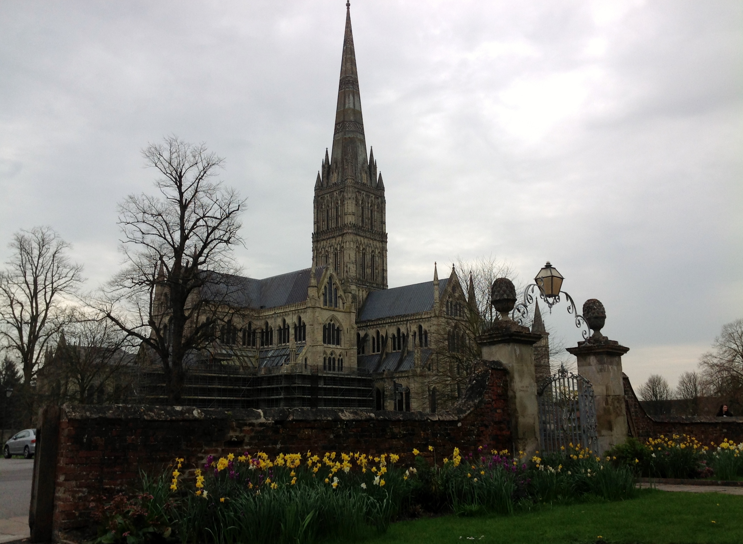
Cathedral Church of the Blessed Virgin Mary 02/04/2014 |
Class31 |
Wednesday 2nd of April 2014 08:02:27 PM |