
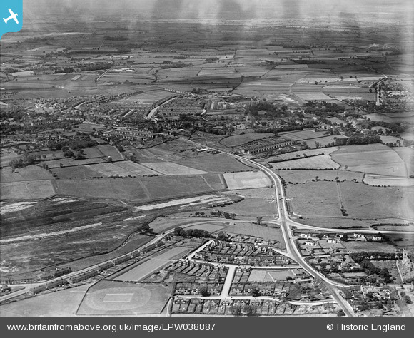
EPW038887 ENGLAND (1932). Billingham Road and environs, Norton, from the north-east, 1932
© Copyright OpenStreetMap contributors and licensed by the OpenStreetMap Foundation. 2026. Cartography is licensed as CC BY-SA.
Details
| Title | [EPW038887] Billingham Road and environs, Norton, from the north-east, 1932 |
| Reference | EPW038887 |
| Date | July-1932 |
| Link | |
| Place name | NORTON |
| Parish | BILLINGHAM |
| District | |
| Country | ENGLAND |
| Easting / Northing | 445509, 521930 |
| Longitude / Latitude | -1.2956546048953, 54.590388214527 |
| National Grid Reference | NZ455219 |
Pins

xxredxx |
Friday 25th of April 2025 08:35:20 PM | |
|
xxredxx |
Friday 25th of April 2025 08:32:25 PM | |
|
Wayne23 |
Saturday 18th of March 2023 09:31:14 PM | |

Class31 |
Wednesday 6th of February 2013 05:09:24 PM | |
|
Class31 |
Wednesday 6th of February 2013 05:08:52 PM | |
|
Class31 |
Wednesday 6th of February 2013 05:07:55 PM | |
|
Class31 |
Wednesday 6th of February 2013 05:07:39 PM | |
|
Class31 |
Wednesday 6th of February 2013 05:05:48 PM |