
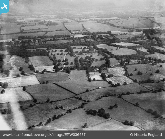
EPW036637 ENGLAND (1931). Worsted Green and Ockley Hill, Merstham, from the south-west, 1931
© Copyright OpenStreetMap contributors and licensed by the OpenStreetMap Foundation. 2026. Cartography is licensed as CC BY-SA.
Details
| Title | [EPW036637] Worsted Green and Ockley Hill, Merstham, from the south-west, 1931 |
| Reference | EPW036637 |
| Date | September-1931 |
| Link | |
| Place name | MERSTHAM |
| Parish | |
| District | |
| Country | ENGLAND |
| Easting / Northing | 530181, 152335 |
| Longitude / Latitude | -0.13428077367637, 51.254788255089 |
| National Grid Reference | TQ302523 |
Pins
Be the first to add a comment to this image!