
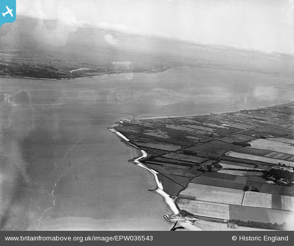
EPW036543 ENGLAND (1931). The site of the proposed Humber Bridge, Chowder Ness, from the south-west, 1931
© Copyright OpenStreetMap contributors and licensed by the OpenStreetMap Foundation. 2026. Cartography is licensed as CC BY-SA.
Details
| Title | [EPW036543] The site of the proposed Humber Bridge, Chowder Ness, from the south-west, 1931 |
| Reference | EPW036543 |
| Date | August-1931 |
| Link | |
| Place name | CHOWDER NESS |
| Parish | BARTON-UPON-HUMBER |
| District | |
| Country | ENGLAND |
| Easting / Northing | 500294, 422867 |
| Longitude / Latitude | -0.48092758880466, 53.692378550699 |
| National Grid Reference | TA003229 |
Pins

Dylan Moore |
Tuesday 11th of December 2012 03:38:01 PM |