
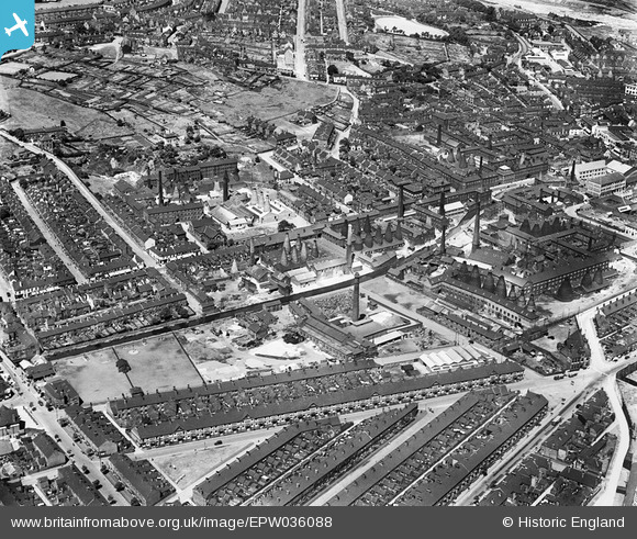
EPW036088 ENGLAND (1931). The Campbell Tile Works, Newcastle Under Lyme Canal and environs, Boothen, 1931
© Copyright OpenStreetMap contributors and licensed by the OpenStreetMap Foundation. 2026. Cartography is licensed as CC BY-SA.
Nearby Images (48)
EAW018080

EPW055675

EPW055676

EPW041711

EPW036093

EPW046752

EPW055680

EPW036089

EAW018086

EPW041802

EPW055683

EAW046224

EPW036091

EPW041710

EPW041712

EPW055678

EAW046219

EPW036094

EAW018081

EPW055682

EPW046757

EAW046217

EPW041714

EPW046756

EAW018088

EAW018087

EPW036090

EAW046222

EAW046221

EAW018084

EAW046213

EAW046215

EAW046216

EAW046223

EAW018079

EPW046753

EAW046220

EPW046754

EPW046755

EAW046079

EAW046218

EAW038494

EAW038497

EAW038499

EAW038493

EAW038496

EAW038495

EPW041799

Details
| Title | [EPW036088] The Campbell Tile Works, Newcastle Under Lyme Canal and environs, Boothen, 1931 |
| Reference | EPW036088 |
| Date | July-1931 |
| Link | |
| Place name | BOOTHEN |
| Parish | |
| District | |
| Country | ENGLAND |
| Easting / Northing | 387546, 344848 |
| Longitude / Latitude | -2.185594994926, 53.000499414107 |
| National Grid Reference | SJ875448 |
Pins
Be the first to add a comment to this image!