
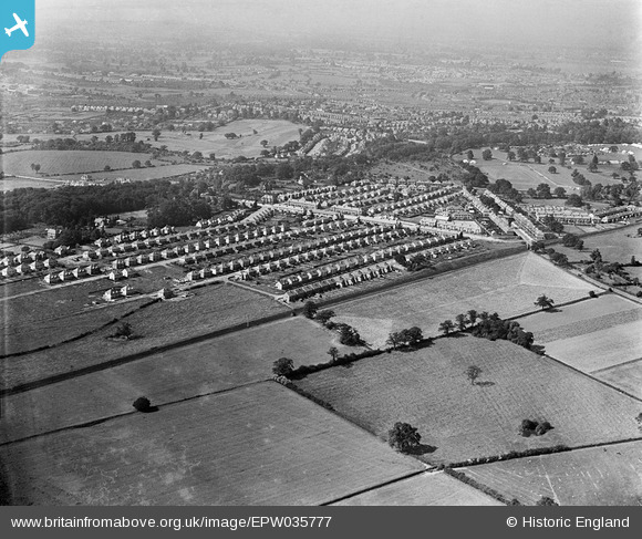
EPW035777 ENGLAND (1931). Housing off the Kenpas Highway and environs, Stivichall Common, from the south, 1931
© Copyright OpenStreetMap contributors and licensed by the OpenStreetMap Foundation. 2026. Cartography is licensed as CC BY-SA.
Details
| Title | [EPW035777] Housing off the Kenpas Highway and environs, Stivichall Common, from the south, 1931 |
| Reference | EPW035777 |
| Date | 1-July-1931 |
| Link | |
| Place name | STIVICHALL COMMON |
| Parish | |
| District | |
| Country | ENGLAND |
| Easting / Northing | 431993, 275808 |
| Longitude / Latitude | -1.5299470927377, 52.378992539687 |
| National Grid Reference | SP320758 |
Pins

Zed |
Monday 4th of November 2013 06:31:47 PM | |
|
Zed |
Monday 4th of November 2013 06:31:23 PM | |
|
Zed |
Monday 4th of November 2013 06:30:37 PM | |
|
Zed |
Monday 4th of November 2013 06:29:49 PM | |
|
Zed |
Monday 4th of November 2013 06:28:40 PM |