
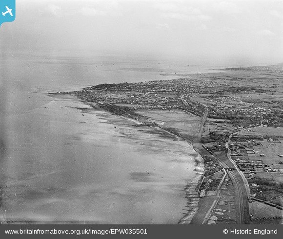
EPW035501 ENGLAND (1931). Lower Island and the town, Whitstable, from the west, 1931
© Copyright OpenStreetMap contributors and licensed by the OpenStreetMap Foundation. 2026. Cartography is licensed as CC BY-SA.
Details
| Title | [EPW035501] Lower Island and the town, Whitstable, from the west, 1931 |
| Reference | EPW035501 |
| Date | May-1931 |
| Link | |
| Place name | WHITSTABLE |
| Parish | |
| District | |
| Country | ENGLAND |
| Easting / Northing | 609608, 165775 |
| Longitude / Latitude | 1.0105762196589, 51.351827472047 |
| National Grid Reference | TR096658 |
