
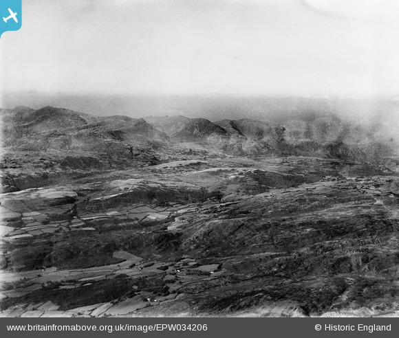
EPW034206 ENGLAND. Fells above Coniston Water, Woodland Fell, from the south, 1930
© Copyright OpenStreetMap contributors and licensed by the OpenStreetMap Foundation. 2026. Cartography is licensed as CC BY-SA.
Details
| Title | [EPW034206] Fells above Coniston Water, Woodland Fell, from the south, 1930 |
| Reference | EPW034206 |
| Date | |
| Link | |
| Place name | WOODLAND FELL |
| Parish | KIRKBY IRELETH |
| District | |
| Country | ENGLAND |
| Easting / Northing | 326140, 490795 |
| Longitude / Latitude | -3.1352901149081, 54.307252942294 |
| National Grid Reference | SD261908 |
Pins

Class31 |
Wednesday 2nd of January 2013 09:08:26 AM | |
|
Class31 |
Wednesday 2nd of January 2013 09:04:32 AM | |
|
Class31 |
Tuesday 1st of January 2013 11:24:43 AM | |
|
Class31 |
Tuesday 1st of January 2013 11:22:19 AM | |
|
Class31 |
Tuesday 1st of January 2013 11:20:49 AM | |
|
Class31 |
Tuesday 1st of January 2013 11:19:34 AM | |
|
Class31 |
Tuesday 1st of January 2013 11:18:22 AM | |
|
Class31 |
Tuesday 1st of January 2013 11:17:17 AM | |
|
Class31 |
Tuesday 1st of January 2013 11:16:58 AM | |
|
Class31 |
Tuesday 1st of January 2013 11:15:39 AM |
User Comment Contributions
View looking north from above Green Moor towards Broughton Moor and Walna Scar. I am confident in the location. All the field boundaries and settlements fit. This photo brings to mind a book which I read once by Richard Adams author of Watership Down. The book is entitled "The Plague Dogs" and features this area of the Lake District. |
Class31 |
Wednesday 2nd of January 2013 12:33:15 PM |
Thank you! We'll update the catalogue and post the new data here in due course. This is another of the images labelled "Mountains - Scotland" by Aerofilms Ltd. Yours, Katy Britain from Above Cataloguing Team Leader |
Katy Whitaker |
Wednesday 2nd of January 2013 12:33:15 PM |
Eureka |
Class31 |
Tuesday 1st of January 2013 11:14:55 AM |