
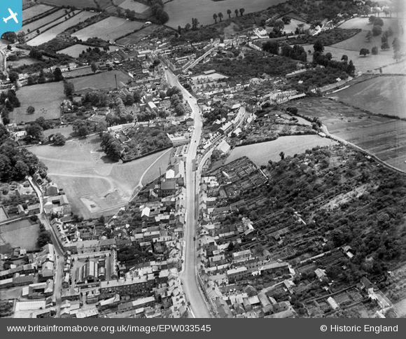
EPW033545 ENGLAND (1930). Union Road and environs, Crediton, 1930
© Copyright OpenStreetMap contributors and licensed by the OpenStreetMap Foundation. 2026. Cartography is licensed as CC BY-SA.
Details
| Title | [EPW033545] Union Road and environs, Crediton, 1930 |
| Reference | EPW033545 |
| Date | July-1930 |
| Link | |
| Place name | CREDITON |
| Parish | CREDITON |
| District | |
| Country | ENGLAND |
| Easting / Northing | 283399, 100225 |
| Longitude / Latitude | -3.6544257068003, 50.789287500606 |
| National Grid Reference | SS834002 |
Pins
Be the first to add a comment to this image!