
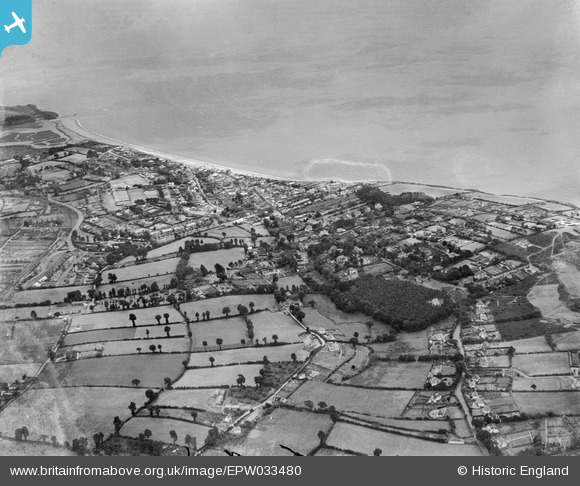
EPW033480 ENGLAND (1930). The town, Budleigh Salterton, from the north-east, 1930
© Copyright OpenStreetMap contributors and licensed by the OpenStreetMap Foundation. 2026. Cartography is licensed as CC BY-SA.
Details
| Title | [EPW033480] The town, Budleigh Salterton, from the north-east, 1930 |
| Reference | EPW033480 |
| Date | July-1930 |
| Link | |
| Place name | BUDLEIGH SALTERTON |
| Parish | BUDLEIGH SALTERTON |
| District | |
| Country | ENGLAND |
| Easting / Northing | 305399, 82351 |
| Longitude / Latitude | -3.3377916856275, 50.632586706986 |
| National Grid Reference | SY054824 |
