
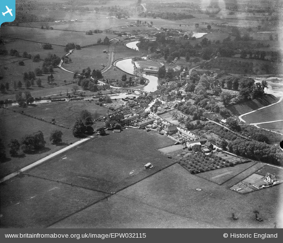
EPW032115 ENGLAND (1930). The village, Aylesford, from the north-east, 1930
© Copyright OpenStreetMap contributors and licensed by the OpenStreetMap Foundation. 2026. Cartography is licensed as CC BY-SA.
Details
| Title | [EPW032115] The village, Aylesford, from the north-east, 1930 |
| Reference | EPW032115 |
| Date | May-1930 |
| Link | |
| Place name | AYLESFORD |
| Parish | AYLESFORD |
| District | |
| Country | ENGLAND |
| Easting / Northing | 573397, 159043 |
| Longitude / Latitude | 0.48778705646638, 51.303551967306 |
| National Grid Reference | TQ734590 |
Pins
Be the first to add a comment to this image!