
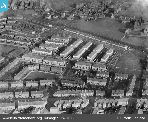
EPW031123 ENGLAND (1929). New housing at Westleigh, Leigh, 1929
© Copyright OpenStreetMap contributors and licensed by the OpenStreetMap Foundation. 2026. Cartography is licensed as CC BY-SA.
Details
| Title | [EPW031123] New housing at Westleigh, Leigh, 1929 |
| Reference | EPW031123 |
| Date | October-1929 |
| Link | |
| Place name | LEIGH |
| Parish | |
| District | |
| Country | ENGLAND |
| Easting / Northing | 365432, 401257 |
| Longitude / Latitude | -2.5212655789314, 53.506615313598 |
| National Grid Reference | SD654013 |
Pins
 Tizer pop works Tizer pop works |

pemby1 |
Tuesday 14th of July 2026 01:09:48 PM |
| Bolton and Kenyon Junction Railway - now bypass. |
FrankH |
Wednesday 28th of October 2020 09:21:38 PM |
| atherleigh hospital |
leyther8008 |
Tuesday 21st of January 2014 05:09:01 PM |
| atherleigh hospital |
leyther8008 |
Tuesday 21st of January 2014 05:08:59 PM |