
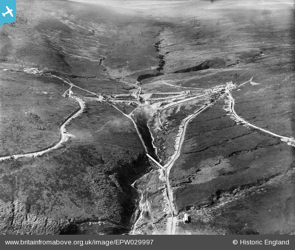
EPW029997 ENGLAND (1929). Gorple Upper Reservoir under construction, Black Moor, 1929
© Copyright OpenStreetMap contributors and licensed by the OpenStreetMap Foundation. 2026. Cartography is licensed as CC BY-SA.
Details
| Title | [EPW029997] Gorple Upper Reservoir under construction, Black Moor, 1929 |
| Reference | EPW029997 |
| Date | October-1929 |
| Link | |
| Place name | BLACK MOOR |
| Parish | HEPTONSTALL |
| District | |
| Country | ENGLAND |
| Easting / Northing | 391593, 431996 |
| Longitude / Latitude | -2.1276068762558, 53.784004132915 |
| National Grid Reference | SD916320 |
Pins

RoyPlum |
Saturday 28th of November 2020 03:34:48 PM | |

Class31 |
Friday 19th of October 2012 10:21:55 PM | |
|
Class31 |
Friday 19th of October 2012 10:18:50 PM | |
|
Class31 |
Friday 19th of October 2012 10:18:09 PM | |
|
Class31 |
Friday 19th of October 2012 10:17:13 PM | |
|
Class31 |
Friday 19th of October 2012 08:39:35 AM | |
Class 31 how did you get this one?! Anyhow, I agree. We'll update the catalogue, and post the correct location data here in due course. Thank you very much for your help. Yours, Katy Britain from Above Cataloguing Team Leader |
Katy Whitaker |
Wednesday 24th of October 2012 12:31:05 PM |
|
Class31 |
Friday 19th of October 2012 08:37:30 AM |

User Comment Contributions
View looking west. |
Class31 |
Friday 19th of October 2012 08:40:08 AM |