
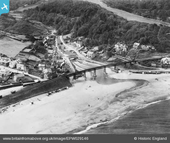
EPW029146 ENGLAND (1929). The railway viaduct and village, East Row, 1929. This image has been produced from a copy-negative.
© Copyright OpenStreetMap contributors and licensed by the OpenStreetMap Foundation. 2026. Cartography is licensed as CC BY-SA.
Details
| Title | [EPW029146] The railway viaduct and village, East Row, 1929. This image has been produced from a copy-negative. |
| Reference | EPW029146 |
| Date | September-1929 |
| Link | |
| Place name | EAST ROW |
| Parish | LYTHE |
| District | |
| Country | ENGLAND |
| Easting / Northing | 486252, 512570 |
| Longitude / Latitude | -0.66796064184162, 54.500973711313 |
| National Grid Reference | NZ863126 |
Pins
Be the first to add a comment to this image!