
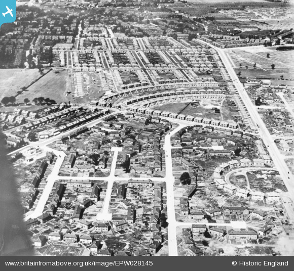
EPW028145 ENGLAND (1929). Housing development around Heyscroft Road and Pytha Fold Road, Withington, 1929. This image has been produced from a copy-negative.
© Copyright OpenStreetMap contributors and licensed by the OpenStreetMap Foundation. 2026. Cartography is licensed as CC BY-SA.
Details
| Title | [EPW028145] Housing development around Heyscroft Road and Pytha Fold Road, Withington, 1929. This image has been produced from a copy-negative. |
| Reference | EPW028145 |
| Date | 20-July-1929 |
| Link | |
| Place name | WITHINGTON |
| Parish | |
| District | |
| Country | ENGLAND |
| Easting / Northing | 385535, 392397 |
| Longitude / Latitude | -2.2177200354414, 53.427906247808 |
| National Grid Reference | SJ855924 |
Pins

Tabbers |
Monday 16th of January 2023 09:29:26 AM | |
|
Steve |
Saturday 11th of January 2020 04:48:42 AM | |
|
Steve |
Saturday 11th of January 2020 04:47:25 AM | |
|
Steve |
Saturday 11th of January 2020 04:45:11 AM | |
|
Steve |
Saturday 11th of January 2020 04:43:27 AM | |
|
Steve |
Thursday 9th of January 2020 05:52:45 AM | |
|
Steve |
Sunday 10th of November 2019 11:18:41 PM | |
|
Steve |
Monday 7th of October 2019 07:37:55 PM | |
|
Steve |
Monday 7th of October 2019 07:33:09 PM |