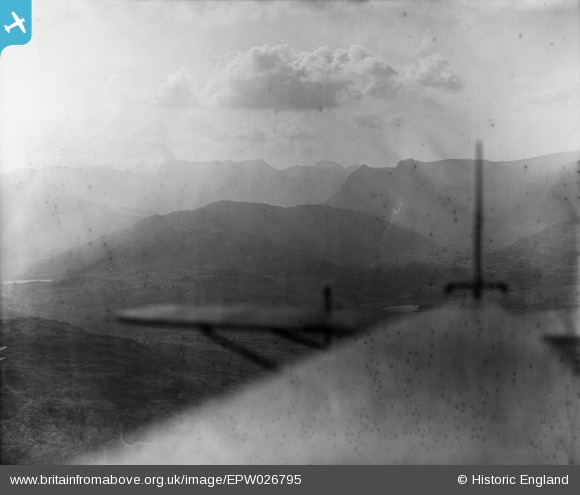
EPW026795 ENGLAND (1929). Lingmoor Fell, Elterwater, from the south-east, 1929
© Copyright OpenStreetMap contributors and licensed by the OpenStreetMap Foundation. 2026. Cartography is licensed as CC BY-SA.
Details
| Title | [EPW026795] Lingmoor Fell, Elterwater, from the south-east, 1929 |
| Reference | EPW026795 |
| Date | May-1929 |
| Link | |
| Place name | ELTERWATER |
| Parish | LAKES |
| District | |
| Country | ENGLAND |
| Easting / Northing | 333238, 503588 |
| Longitude / Latitude | -3.0290786353301, 54.423197304031 |
| National Grid Reference | NY332036 |
Pins
User Comment Contributions
Thank you! A tricky image so it's good to be able to get a location. We'll update the catalogue, and post the correct data here in due course. Yours, Katy Britain from Above Cataloguing Team Leader |
Katy Whitaker |
Wednesday 24th of October 2012 12:02:46 PM |


