
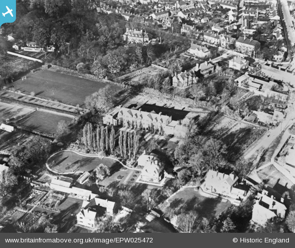
EPW025472 ENGLAND (1928). St Edmund's House and environs, Cambridge, 1928. This image has been produced from a copy-negative.
© Copyright OpenStreetMap contributors and licensed by the OpenStreetMap Foundation. 2025. Cartography is licensed as CC BY-SA.
Details
| Title | [EPW025472] St Edmund's House and environs, Cambridge, 1928. This image has been produced from a copy-negative. |
| Reference | EPW025472 |
| Date | 14-November-1928 |
| Link | |
| Place name | CAMBRIDGE |
| Parish | |
| District | |
| Country | ENGLAND |
| Easting / Northing | 544190, 259274 |
| Longitude / Latitude | 0.11067087297631, 52.212389784866 |
| National Grid Reference | TL442593 |
Pins

Matt Aldred edob.mattaldred.com |
Saturday 9th of May 2020 08:20:07 PM | |
|
Matt Aldred edob.mattaldred.com |
Saturday 9th of May 2020 08:19:54 PM |