
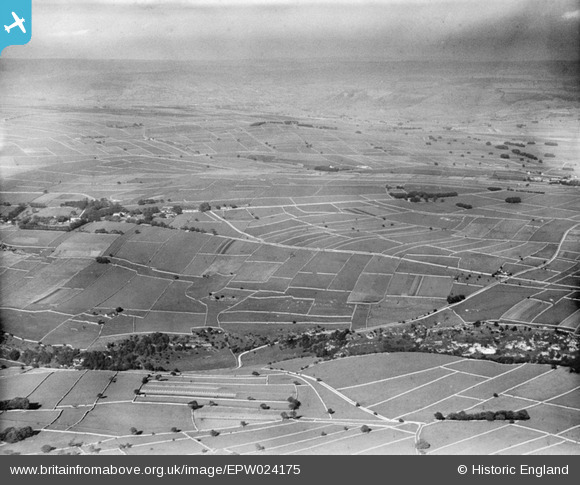
EPW024175 ENGLAND (1928). Cherryslack, Wheston, from the south-west, 1928
© Copyright OpenStreetMap contributors and licensed by the OpenStreetMap Foundation. 2026. Cartography is licensed as CC BY-SA.
Details
| Title | [EPW024175] Cherryslack, Wheston, from the south-west, 1928 |
| Reference | EPW024175 |
| Date | September-1928 |
| Link | |
| Place name | WHESTON |
| Parish | WHESTON |
| District | |
| Country | ENGLAND |
| Easting / Northing | 413258, 375429 |
| Longitude / Latitude | -1.8011581202417, 53.275401918667 |
| National Grid Reference | SK133754 |
Pins

Malcolm Adlington |
Tuesday 13th of October 2020 08:06:16 PM | |

MFS |
Wednesday 27th of June 2012 11:45:31 PM | |
|
MFS |
Wednesday 27th of June 2012 11:44:53 PM | |
|
MFS |
Wednesday 27th of June 2012 11:44:04 PM | |
|
T. Willis |
Tuesday 26th of June 2012 07:29:25 PM | |
|
BigglesH |
Tuesday 26th of June 2012 03:53:56 PM |
User Comment Contributions
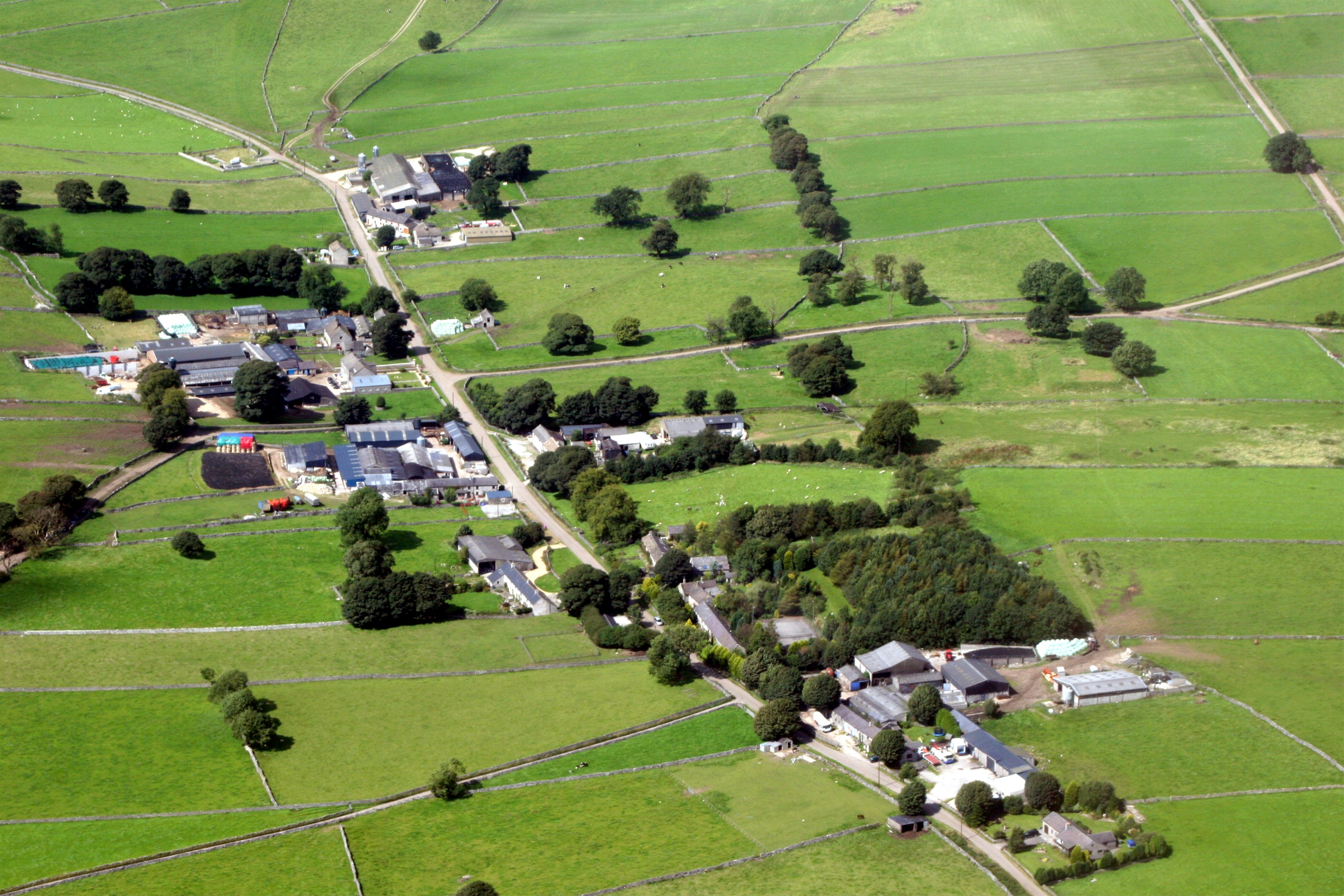
Again this was taken close to Wormhill the crossroad to right of picture is named as Summercross and the small village to left Is Weston.(see as it is today). |
flyjodel |
Monday 13th of August 2012 11:03:22 PM |
Dear all, That’s great; we’ve reviewed your comments and thanks to your help we can update the catalogue with Tideswell. The revised record will appear here in due course. Hope you have the same success solving some of our other mysteries! Katy Whitaker Britain from Above Cataloguer |
Katy Whitaker |
Monday 2nd of July 2012 05:24:01 PM |
It's definitely Peter Dale/Monk Dale looking North West with Wheston over to the left. I would attach a Google screenshot from the same position but not sure of copyright issues.? |
MFS |
Wednesday 27th of June 2012 11:51:24 PM |
Either The White Peak or The Mendips - possibly the valley above Cheddar Gorge?? |
fiftyplus |
Tuesday 26th of June 2012 07:26:01 PM |
I am certain this is Monks Dale in the Peak District Near Tideswell |
T. Willis |
Tuesday 26th of June 2012 07:26:01 PM |