
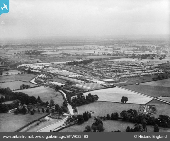
EPW022483 ENGLAND (1928). The LMS Carriage and Wagon Works and the town, Wolverton, from the north-west, 1928
© Copyright OpenStreetMap contributors and licensed by the OpenStreetMap Foundation. 2025. Cartography is licensed as CC BY-SA.
Details
| Title | [EPW022483] The LMS Carriage and Wagon Works and the town, Wolverton, from the north-west, 1928 |
| Reference | EPW022483 |
| Date | 9-August-1928 |
| Link | |
| Place name | WOLVERTON |
| Parish | WOLVERTON AND GREENLEYS |
| District | |
| Country | ENGLAND |
| Easting / Northing | 480862, 241288 |
| Longitude / Latitude | -0.82031447097044, 52.063640312186 |
| National Grid Reference | SP809413 |
Pins

RH |
Thursday 25th of December 2014 12:21:11 AM | |
|
RH |
Thursday 25th of December 2014 12:20:31 AM | |
|
RH |
Thursday 25th of December 2014 12:20:00 AM | |
|
RH |
Thursday 25th of December 2014 12:18:36 AM | |

Class31 |
Monday 29th of October 2012 01:00:38 PM | |
|
Class31 |
Monday 29th of October 2012 01:00:19 PM | |
|
Class31 |
Monday 29th of October 2012 12:59:52 PM | |
|
Class31 |
Monday 29th of October 2012 12:59:25 PM | |
|
Class31 |
Monday 29th of October 2012 12:58:54 PM |