
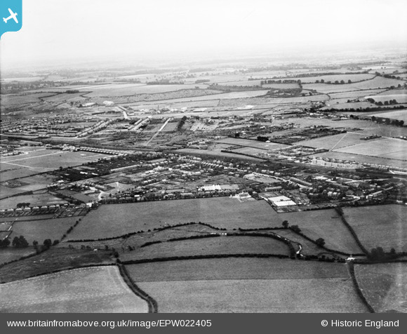
EPW022405 ENGLAND (1928). Limbury, Luton, from the north, 1928
© Copyright OpenStreetMap contributors and licensed by the OpenStreetMap Foundation. 2026. Cartography is licensed as CC BY-SA.
Details
| Title | [EPW022405] Limbury, Luton, from the north, 1928 |
| Reference | EPW022405 |
| Date | 9-August-1928 |
| Link | |
| Place name | LUTON |
| Parish | |
| District | |
| Country | ENGLAND |
| Easting / Northing | 506808, 224284 |
| Longitude / Latitude | -0.44721984479734, 51.906405197398 |
| National Grid Reference | TL068243 |
Pins

cdoe163 |
Friday 25th of November 2022 10:51:05 PM | |
|
JBz |
Friday 28th of August 2020 03:25:53 PM | |
|
John W |
Saturday 18th of April 2020 04:39:04 PM | |

Dylan Moore |
Wednesday 20th of August 2014 05:27:05 PM | |
|
Dylan Moore |
Saturday 27th of October 2012 05:59:05 PM | |
|
Dylan Moore |
Saturday 27th of October 2012 05:58:44 PM | |
|
Dylan Moore |
Saturday 27th of October 2012 05:56:22 PM | |
|
Dylan Moore |
Saturday 27th of October 2012 05:39:47 PM |