
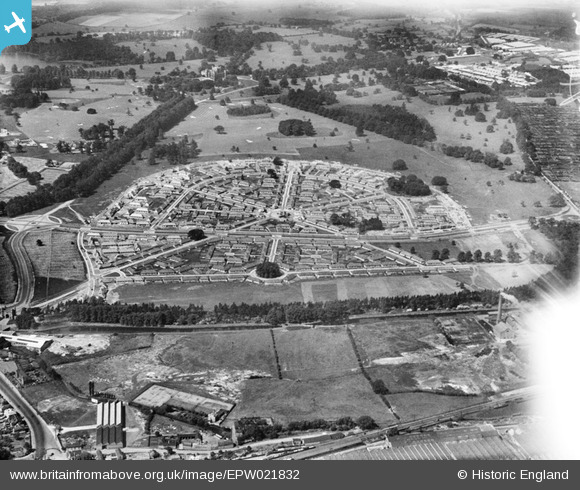
EPW021832 ENGLAND (1928). Wollaton Park Housing Estate and Wollaton Park, Wollaton, from the east, 1928
© Copyright OpenStreetMap contributors and licensed by the OpenStreetMap Foundation. 2026. Cartography is licensed as CC BY-SA.
Details
| Title | [EPW021832] Wollaton Park Housing Estate and Wollaton Park, Wollaton, from the east, 1928 |
| Reference | EPW021832 |
| Date | June-1928 |
| Link | |
| Place name | WOLLATON |
| Parish | |
| District | |
| Country | ENGLAND |
| Easting / Northing | 454834, 339566 |
| Longitude / Latitude | -1.1837777841961, 52.950355152563 |
| National Grid Reference | SK548396 |
Pins
Be the first to add a comment to this image!