
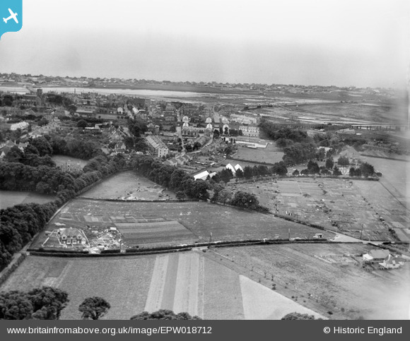
EPW018712 ENGLAND (1927). Mill Lane and environs, Shoreham-by-Sea, from the north, 1927
© Copyright OpenStreetMap contributors and licensed by the OpenStreetMap Foundation. 2026. Cartography is licensed as CC BY-SA.
Details
| Title | [EPW018712] Mill Lane and environs, Shoreham-by-Sea, from the north, 1927 |
| Reference | EPW018712 |
| Date | July-1927 |
| Link | |
| Place name | SHOREHAM-BY-SEA |
| Parish | |
| District | |
| Country | ENGLAND |
| Easting / Northing | 521531, 105785 |
| Longitude / Latitude | -0.27381491792186, 50.838256226898 |
| National Grid Reference | TQ215058 |
Pins

Alan McFaden |
Friday 7th of November 2014 05:53:22 PM |

User Comment Contributions
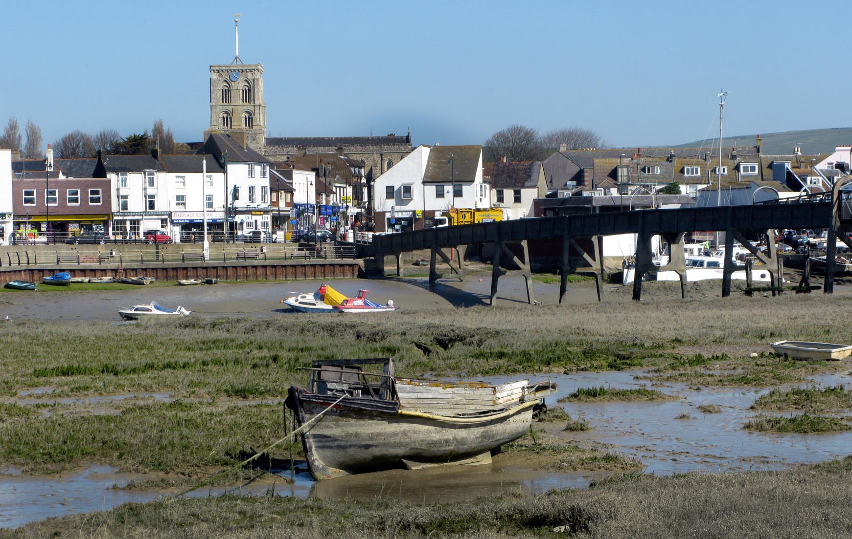
Shoreham-by-Sea Footbridge |
Alan McFaden |
Friday 7th of November 2014 05:54:54 PM |
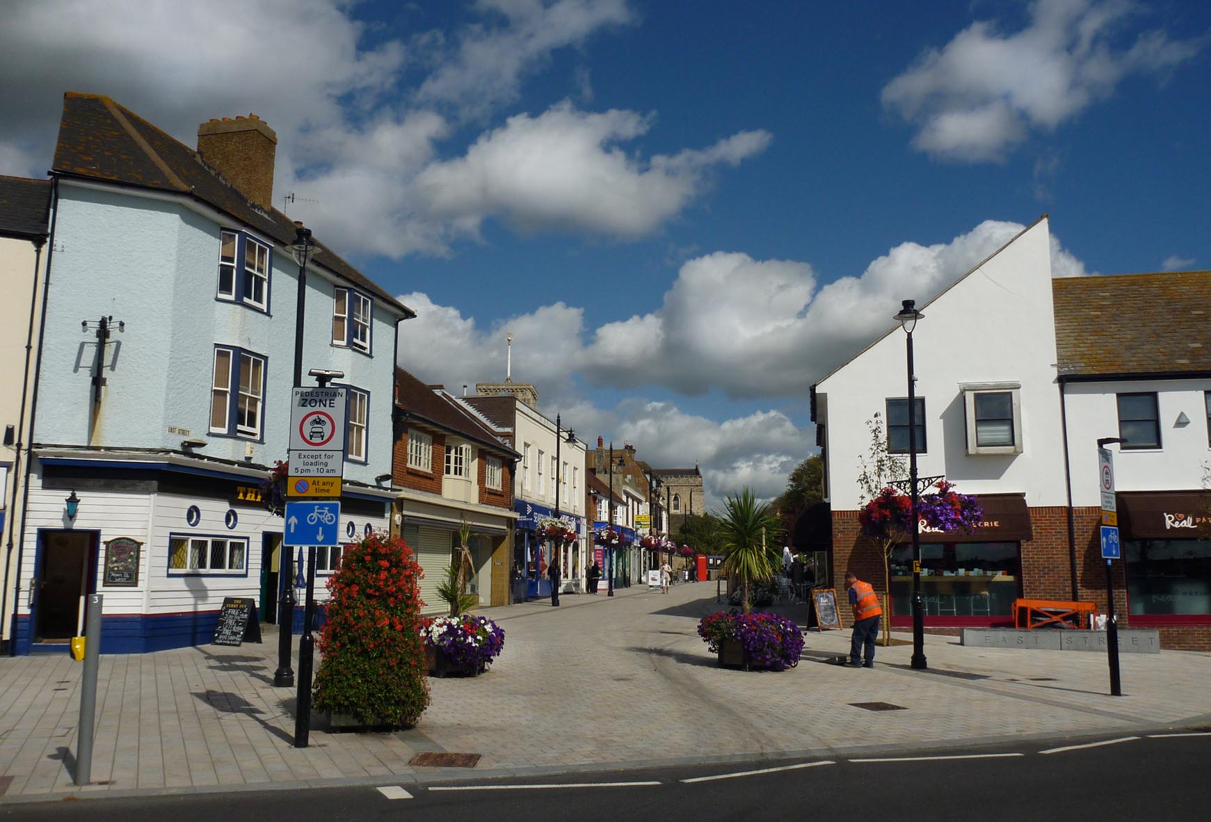
Shoreham-by-Sea |
Alan McFaden |
Friday 7th of November 2014 05:53:59 PM |