
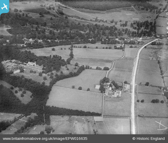
EPW016635 ENGLAND (1926). Robin Hood Farm and environs, Coombe, 1926
© Copyright OpenStreetMap contributors and licensed by the OpenStreetMap Foundation. 2025. Cartography is licensed as CC BY-SA.
Details
| Title | [EPW016635] Robin Hood Farm and environs, Coombe, 1926 |
| Reference | EPW016635 |
| Date | August-1926 |
| Link | |
| Place name | COOMBE |
| Parish | |
| District | |
| Country | ENGLAND |
| Easting / Northing | 521024, 171575 |
| Longitude / Latitude | -0.25890711150754, 51.429746639143 |
| National Grid Reference | TQ210716 |
Pins
Be the first to add a comment to this image!