
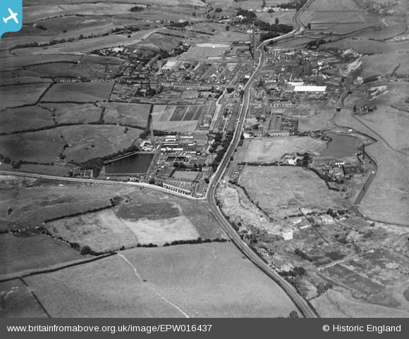
EPW016437 ENGLAND (1926). Middleton Road and the village, Rhodes, from the west, 1926
© Copyright OpenStreetMap contributors and licensed by the OpenStreetMap Foundation. 2025. Cartography is licensed as CC BY-SA.
Details
| Title | [EPW016437] Middleton Road and the village, Rhodes, from the west, 1926 |
| Reference | EPW016437 |
| Date | 6-August-1926 |
| Link | |
| Place name | RHODES |
| Parish | |
| District | |
| Country | ENGLAND |
| Easting / Northing | 384444, 405002 |
| Longitude / Latitude | -2.234765860577, 53.541186697202 |
| National Grid Reference | SD844050 |
Pins

Us |
Tuesday 7th of October 2014 11:58:01 AM | |
|
Us |
Tuesday 7th of October 2014 11:56:06 AM | |
|
Us |
Tuesday 7th of October 2014 11:50:17 AM | |
|
Geoff Wellens |
Friday 19th of October 2012 07:35:04 PM |