
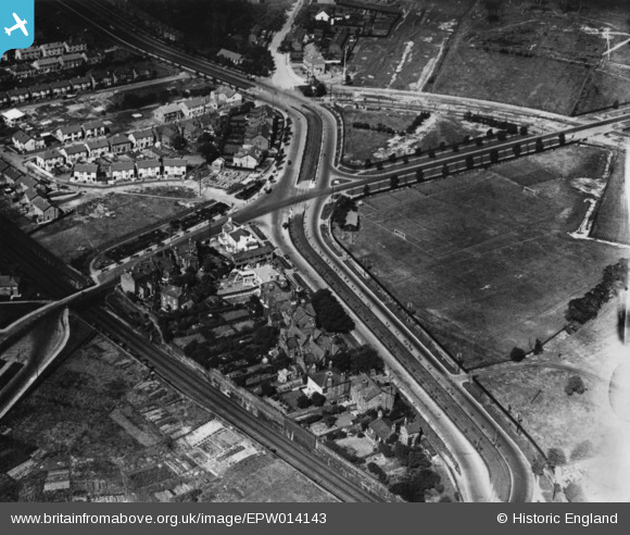
EPW014143 ENGLAND (1925). Broad Green Road, Broad Green, 1925. This image has been produced from a print.
© Copyright OpenStreetMap contributors and licensed by the OpenStreetMap Foundation. 2026. Cartography is licensed as CC BY-SA.
Details
| Title | [EPW014143] Broad Green Road, Broad Green, 1925. This image has been produced from a print. |
| Reference | EPW014143 |
| Date | 27-August-1925 |
| Link | |
| Place name | BROAD GREEN |
| Parish | |
| District | |
| Country | ENGLAND |
| Easting / Northing | 340235, 390382 |
| Longitude / Latitude | -2.8991138861369, 53.406605964918 |
| National Grid Reference | SJ402904 |
Pins
 |

LMRT |
Saturday 10th of January 2026 01:37:33 PM |
|
1bcamden |
Saturday 7th of October 2023 03:46:23 AM | |
|
1bcamden |
Saturday 7th of October 2023 02:26:58 AM | |
|
1bcamden |
Saturday 7th of October 2023 02:26:03 AM | |
|
neilsturrock |
Sunday 5th of September 2021 02:41:02 PM | |
|
Chrisy Y |
Saturday 26th of November 2016 09:18:03 PM | |
|
John W |
Sunday 3rd of July 2016 09:10:59 PM |