
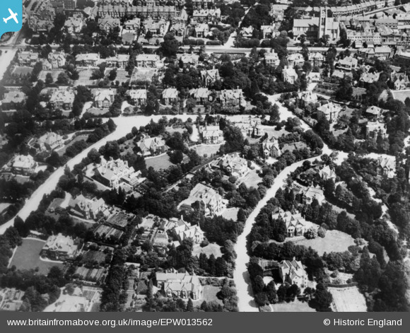
EPW013562 ENGLAND (1925). The residential area at Westbourne, Bournemouth, 1925. This image has been produced from a copy-negative.
© Copyright OpenStreetMap contributors and licensed by the OpenStreetMap Foundation. 2026. Cartography is licensed as CC BY-SA.
Details
| Title | [EPW013562] The residential area at Westbourne, Bournemouth, 1925. This image has been produced from a copy-negative. |
| Reference | EPW013562 |
| Date | June-1925 |
| Link | |
| Place name | BOURNEMOUTH |
| Parish | |
| District | |
| Country | ENGLAND |
| Easting / Northing | 407773, 91003 |
| Longitude / Latitude | -1.8898810012405, 50.718028537525 |
| National Grid Reference | SZ078910 |
Pins

Veejay |
Sunday 24th of May 2026 12:05:37 AM | |
|
Veejay |
Monday 20th of January 2025 04:23:47 PM | |
|
Veejay |
Monday 6th of January 2025 10:29:25 PM | |
|
Veejay |
Monday 6th of January 2025 10:25:04 PM | |
|
Veejay |
Monday 6th of January 2025 10:22:34 PM | |
|
Alwyn Ladell |
Friday 29th of May 2015 08:37:51 PM | |
|
Alwyn Ladell |
Friday 29th of May 2015 08:37:02 PM | |
|
Alwyn Ladell |
Friday 29th of May 2015 08:36:30 PM | |
|
Alwyn Ladell |
Friday 29th of May 2015 08:36:06 PM |