
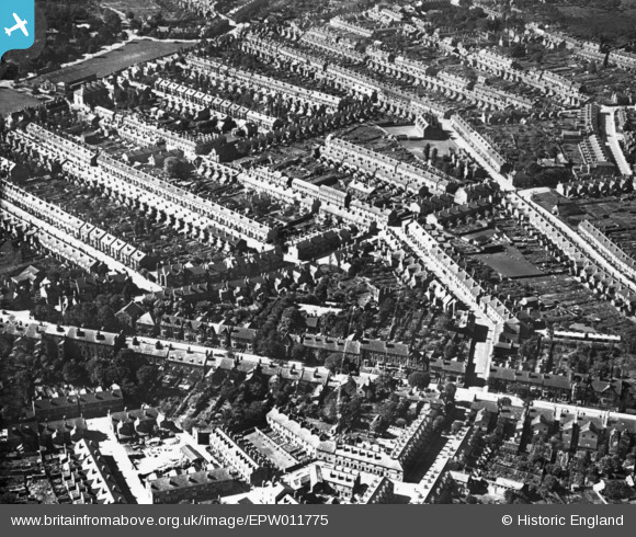
EPW011775 ENGLAND (1924). Stayeley Road and environs, Wolverhampton, 1924. This image has been produced from a print.
© Copyright OpenStreetMap contributors and licensed by the OpenStreetMap Foundation. 2026. Cartography is licensed as CC BY-SA.
Details
| Title | [EPW011775] Stayeley Road and environs, Wolverhampton, 1924. This image has been produced from a print. |
| Reference | EPW011775 |
| Date | September-1924 |
| Link | |
| Place name | WOLVERHAMPTON |
| Parish | |
| District | |
| Country | ENGLAND |
| Easting / Northing | 391101, 299552 |
| Longitude / Latitude | -2.1313841233082, 52.59333652603 |
| National Grid Reference | SO911996 |
Pins

Daz223 |
Monday 12th of September 2016 12:40:02 AM | |
|
Daz223 |
Monday 12th of September 2016 12:39:25 AM | |
|
Daz223 |
Monday 12th of September 2016 12:36:19 AM | |
|
Daz223 |
Monday 12th of September 2016 12:35:44 AM | |
|
Daz223 |
Monday 12th of September 2016 12:32:48 AM | |
|
Daz223 |
Monday 12th of September 2016 12:29:48 AM | |
|
Daz223 |
Monday 12th of September 2016 12:26:47 AM | |
|
Daz223 |
Monday 12th of September 2016 12:25:42 AM |